"Nobody rides the ferry if they are in a hurry," Jay Kuntz, co-president of the volunteer group that runs the Bemus Point-Stow Ferry, once said of the boat that has crossed Chautauqua Lake's narrows since 1811. It's a fair description of the ferry itself, and an even better description of what happens in Stow once that boat gets pulled from the water for the winter.
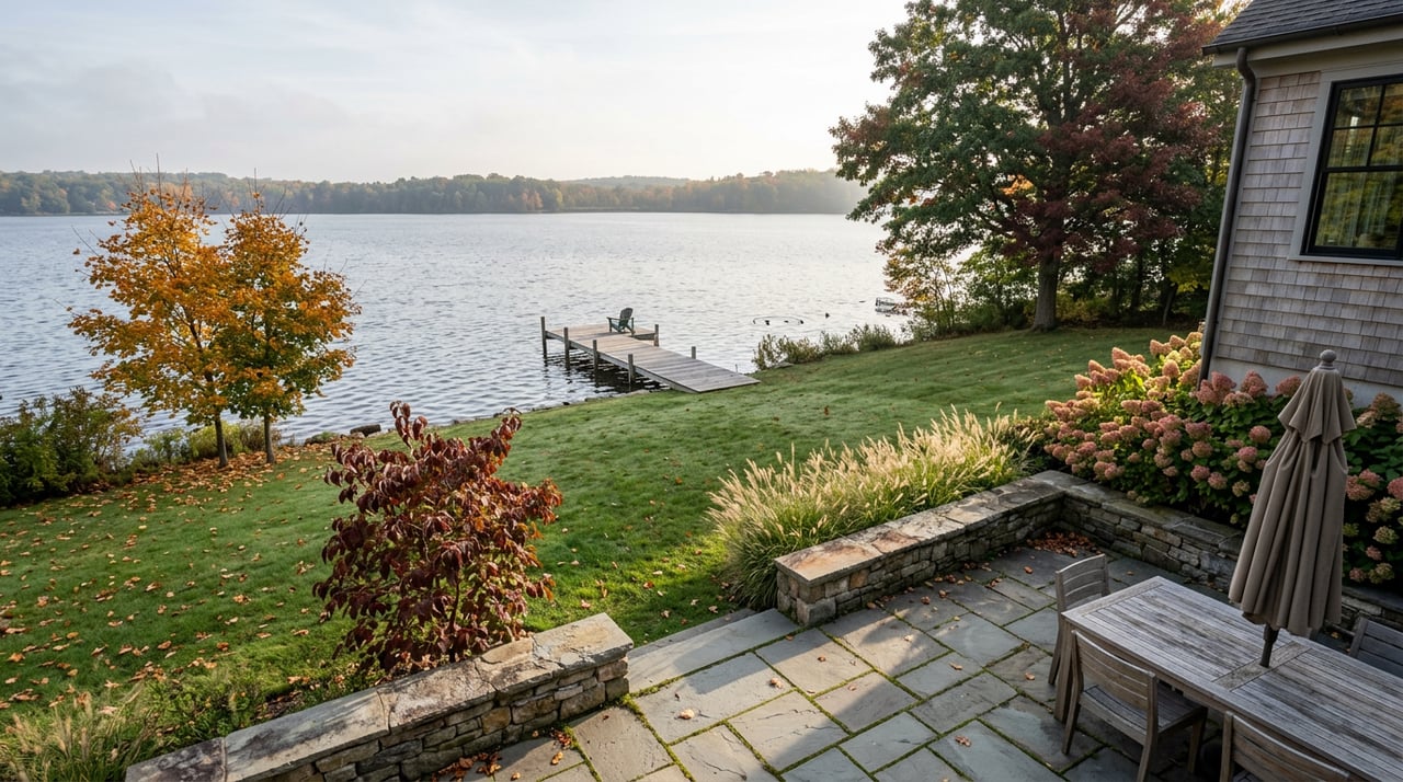
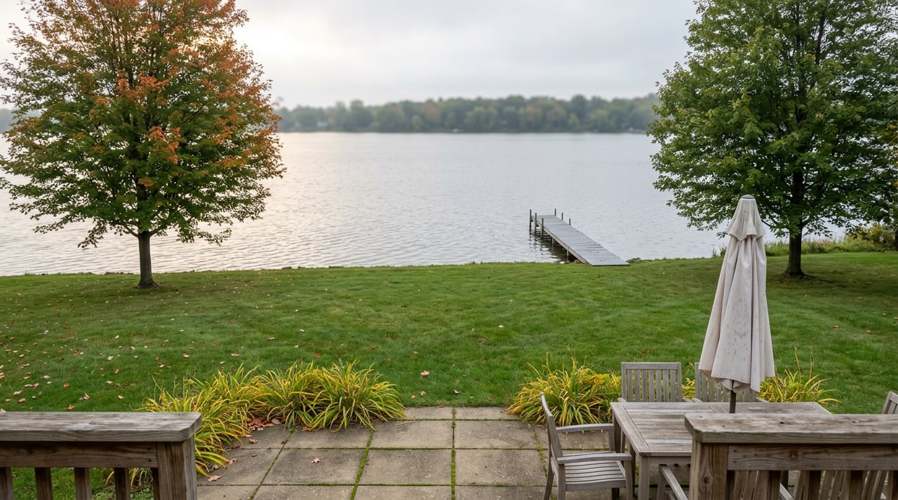
The ferry made its last crossing of the 2026 season yesterday, Sunday, September 20. Starting today, the hamlet on the lake's west shore stops being a ten-minute boat ride from Bemus Point and goes back to being what it actually is most of the year: a small, quiet stretch of Route 394 with its own rhythm, its own handful of open places, and its own reasons to be there that have nothing to do with the water crossing everyone associates with it.
The Last Crossing
The ferry itself is a small marvel of stubborn engineering. The barge measures 66 by 34 feet, is cable-guided across roughly 937 feet of open water at the lake's narrowest point, and can carry up to nine cars or fifty passengers on a crossing that takes under 15 minutes, plus another 10 to load and unload. It's run entirely by volunteers, including a group that only half-jokingly calls itself the Ferry Corps of Engineers, and the ride itself has always been donation-based rather than ticketed.
Bemus Point Mayor Jeff Molnar has described it simply: "This ferry connects Bemus Point, Ellery, North Harmony and Stow." That's the part easy to forget when you're used to the crossing being there. The ferry doesn't just move cars across water. For about four months a year, it stitches four separate municipalities into something that functions, informally, like one shared waterfront.
North Harmony Town Supervisor Robert Yates put it in more personal terms when he recalled riding his horse down to the ferry landing to cross over to Bemus Point, something he believes he may be one of the last people to have done, back in the 1980s. The specifics have changed since then, cars instead of horses, but the underlying habit hasn't: if you live on the Stow side, the ferry has always been the shortcut that made the other shore feel close.
What The Water Was Standing In For
Once the ferry stops running, that shortcut disappears, and the actual geography of the west shore reasserts itself. Getting from Stow to Bemus Point without the ferry means driving Route 394 around to the interstate crossing and back down Route 430, tracing the full curve of the lake instead of cutting straight across its narrowest point. It's not a hardship. It's simply the drive that was always there underneath the shortcut, and until the ferry returns next season, it's the only option.
This matters more than it sounds like it should, because it changes what "close" means for anyone living in Stow. During ferry season, Bemus Point's restaurants and shops function almost like an extension of the hamlet. Once the ferry is docked, that convenience goes away, and whatever is actually on the Stow side of the lake becomes the relevant set of options again.
The Campground Leaves First
The ferry isn't the only seasonal fixture with a closing date. Camp Chautauqua, the Anderson family's campground at 3900 West Lake Road, wraps its 56th season on October 15. The campground sits on roughly 1,800 feet of lakefront, and for most of the summer it functions as a small seasonal population of its own, campers who fill out Stow's sparse year-round headcount and who, more often than not, are the same people using the ferry to get into Bemus Point for dinner.
When the campground empties out in mid-October, that overlap disappears too. What's left in Stow after both dates have passed is a much smaller, much more consistent group of people, the ones who live there full time and were never really counting on the ferry or the campground season to define their daily routine in the first place.
Here's how the closing dates actually line up:
| What | Status After September 20 |
|---|---|
| Bemus Point-Stow Ferry | Docked for the season since Sunday, September 20 |
| Camp Chautauqua | Open through October 15, then closed for the season |
| Stow Farm trails and Tom's Point wetlands | No seasonal closure, accessible year-round |
The Half Mile That Doesn't Need The Ferry At All
That last row matters more than it looks. Half a mile south of the I-86 interchange, on Route 394, sits Stow Farm, part of the state's Chautauqua Lake Fish and Wildlife Management Area. It offers 1,100 feet of shoreline access, and unlike the ferry or the campground, none of it depends on a calendar. Nearby, Tom's Point functions as a significant wetland within the same management area, the kind of place that becomes more interesting, not less, once the summer boat traffic clears out and fall migration brings ducks, geese, and loons through on their way south.
This is the part of Stow that never needed the ferry to be worth visiting. It was always there, a short walk or drive from most houses in the hamlet, and it stays open through exactly the stretch of fall when the more visible, more seasonal parts of Stow go quiet. If you're looking for a reason to get outside in October, this is it, and it doesn't require checking anyone's operating hours first.
The Interchange Nobody Photographs
Stow's other overlooked corner sits right at the I-86 interchange itself. The town's waterfront revitalization plan describes an active, zoned commercial cluster there, listing the Hadley Bay Restaurant, formerly Good Morning Farm, among its businesses. It's a modest footprint by design. Most of North Harmony's shoreline, the same planning document notes, is single-family residential, seasonal and year-round mixed together, with Stow standing out as one of the only spots along that western shore with any commercial density at all.
There's a quieter kind of investment happening underneath all of this, too. The county's plan for extending public sewer into Stow targeted an early 2024 completion for the first phase, replacing septic systems along the west shore with a system tied into the South Chautauqua Lake Sewer District. A second phase has been proposed to keep pushing that line north toward the district boundary near the fish hatchery. None of this changes anything about how Stow feels day to day, but it's a sign the hamlet is getting long-term infrastructure attention even as its summer population and its ferry service scale back for the winter.
What Fall In Stow Actually Is
Put together, none of this means Stow shuts down once the ferry stops. It means Stow stops borrowing Bemus Point's convenience and goes back to running on its own terms, Route 394 as the main road instead of a bypass, Stow Farm and Tom's Point as the standing option instead of a fallback, and a commercial cluster near the interchange that was always modest and stays that way regardless of season.
If you've spent the summer treating the ferry as your default way across the lake, the months until it returns are a reminder that Stow was never actually dependent on it. The hamlet's real shape, quieter, road-oriented, anchored to its own half mile of shoreline, is the one that's been there all along.
If you're thinking about what it actually means to live on this side of the lake year round, not just for the season, Hanna Briggs is always happy to talk it through. Schedule a free consultation anytime.